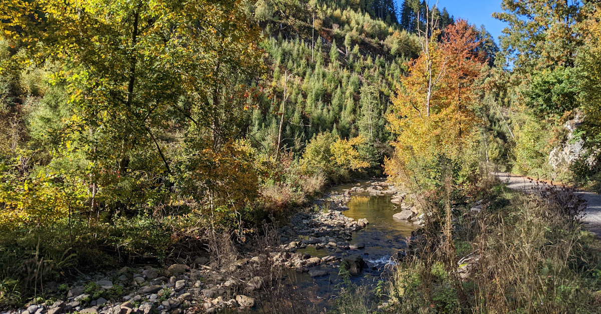
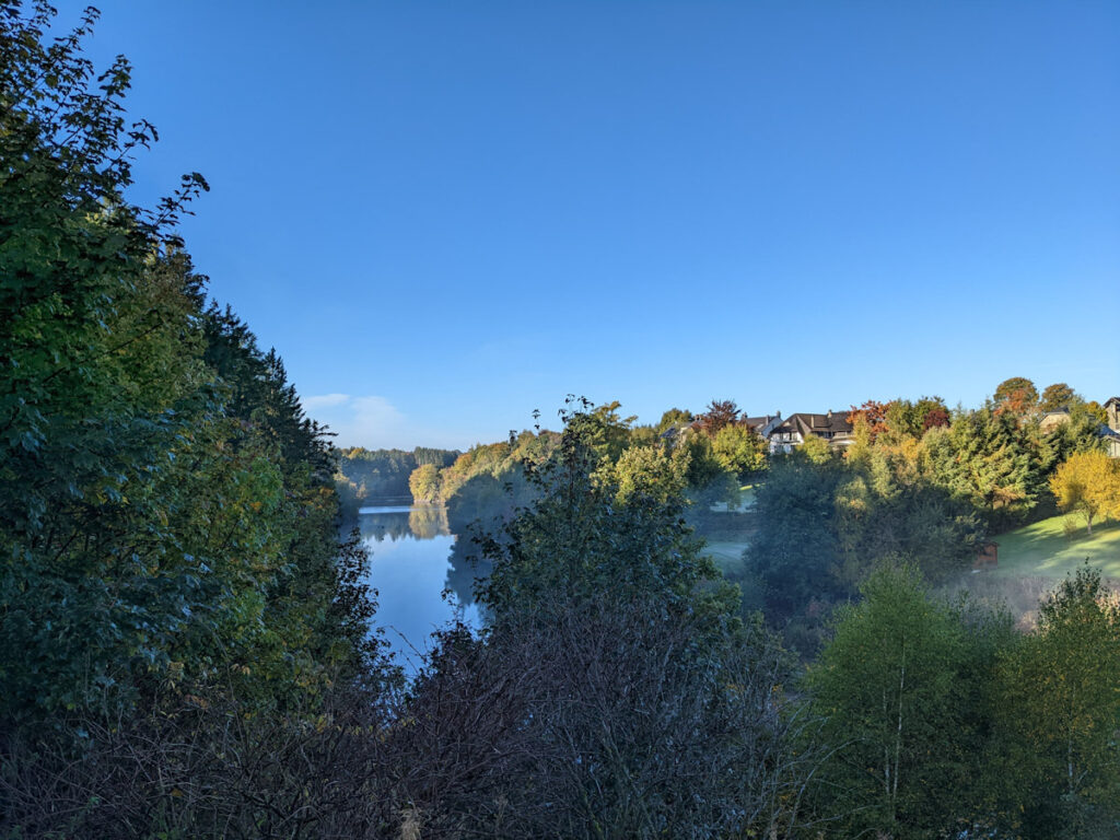
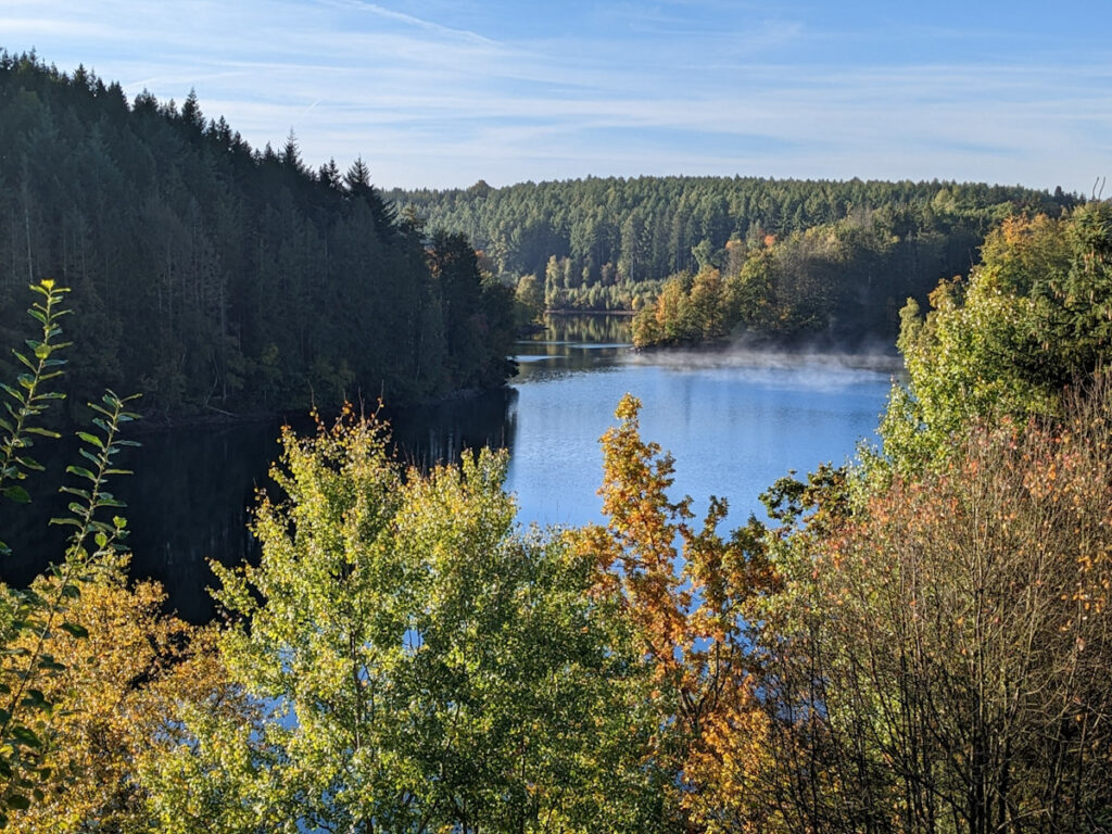
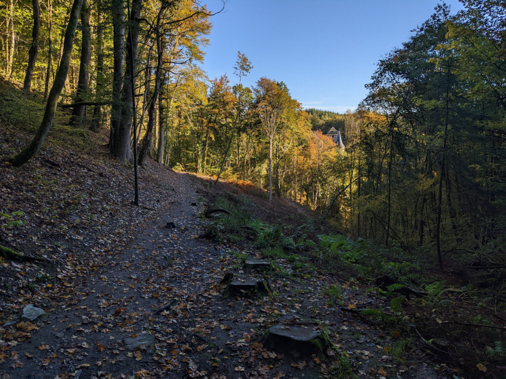
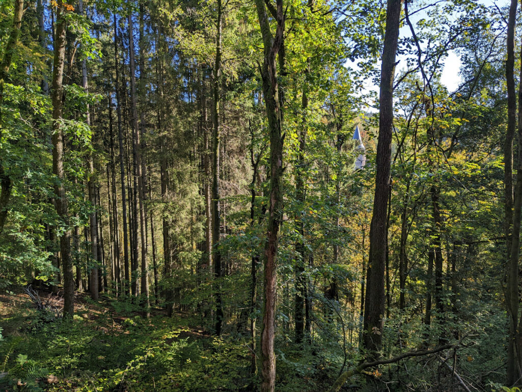
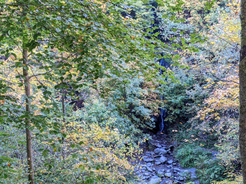
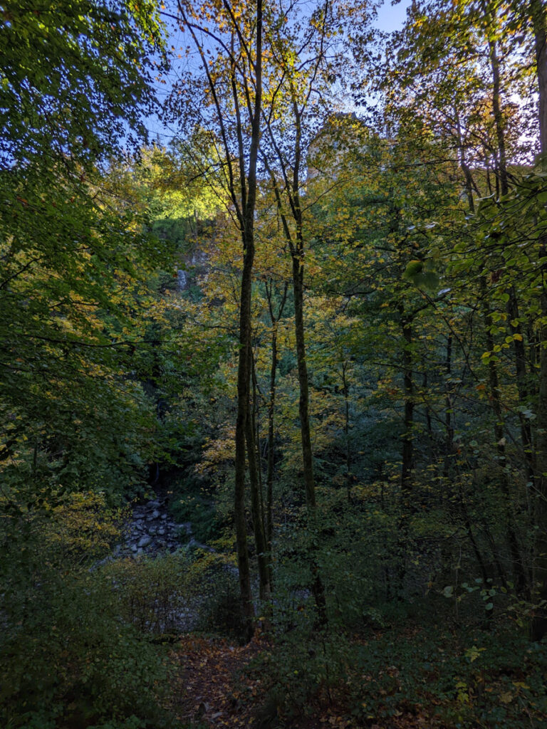
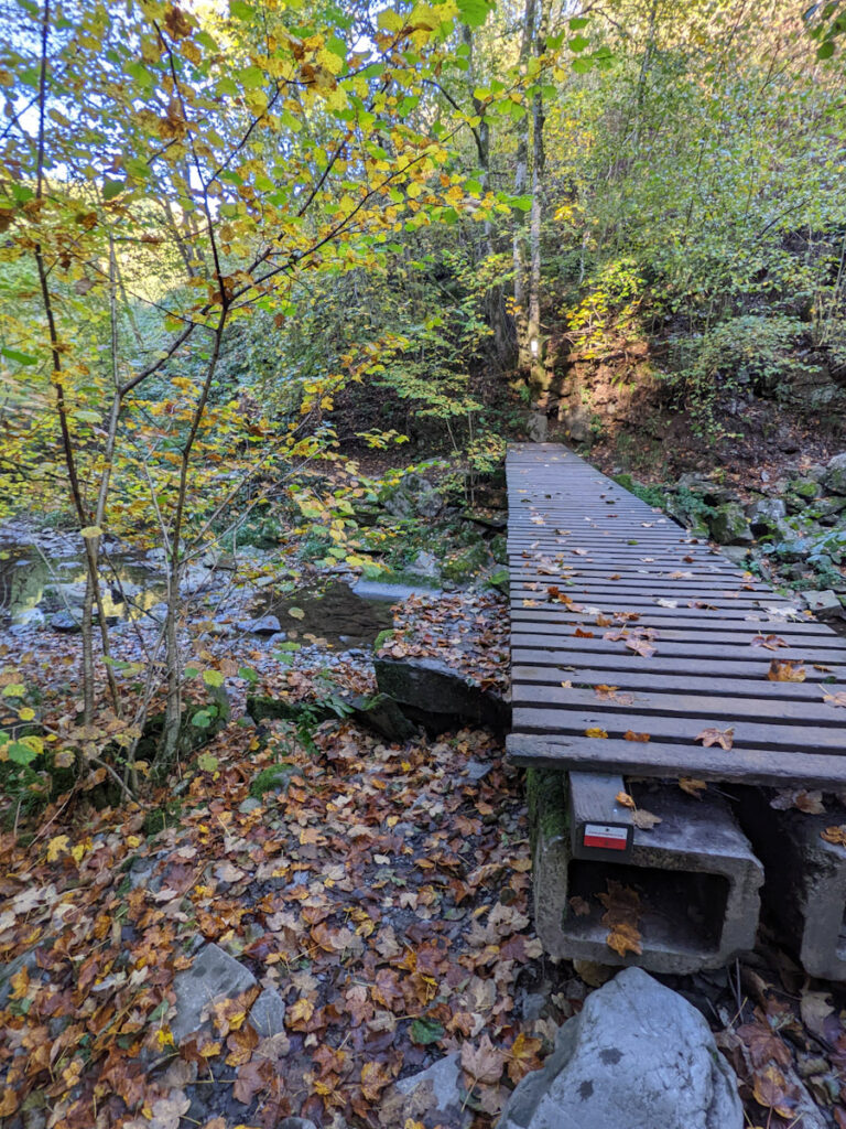
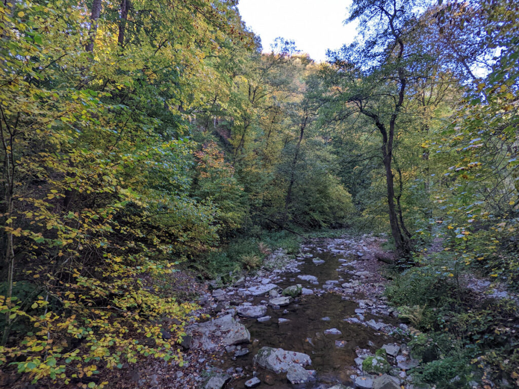
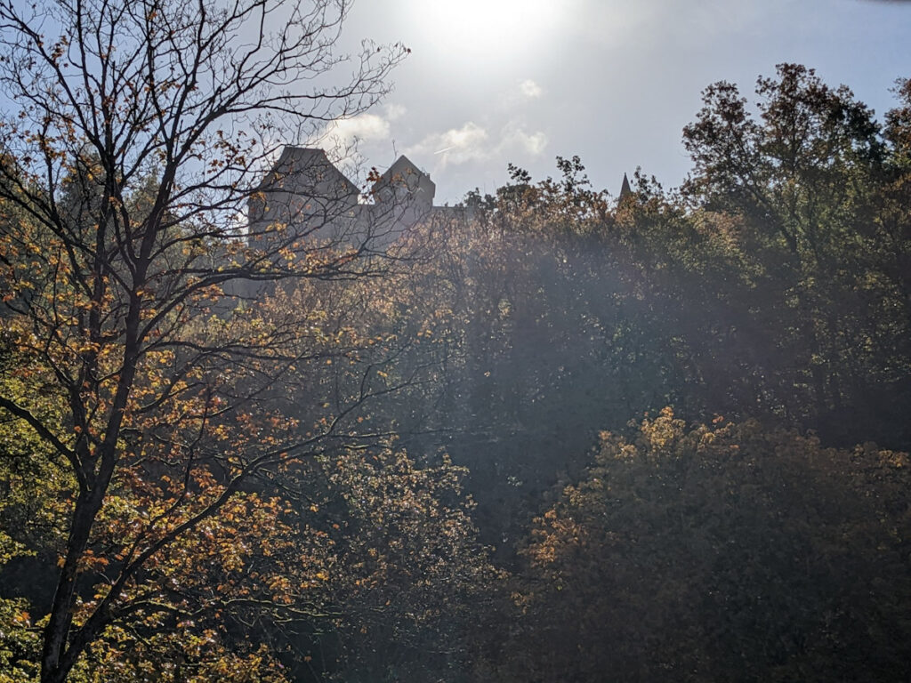
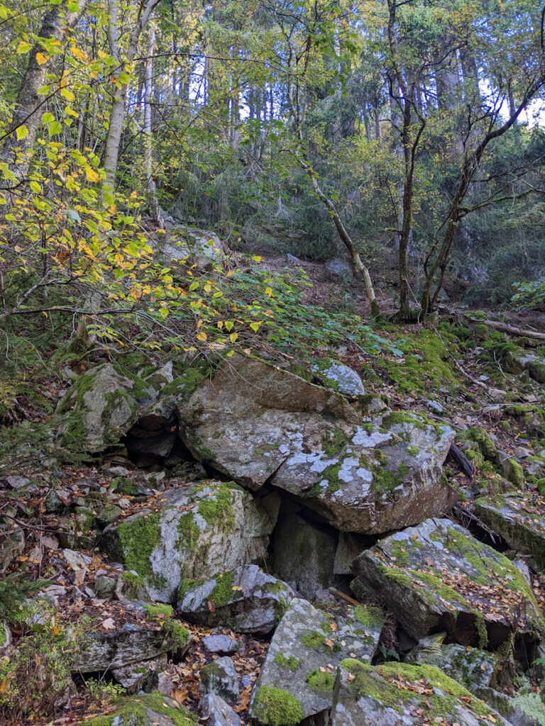
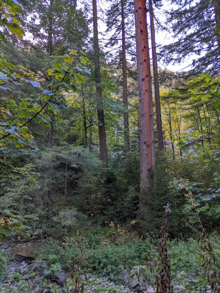
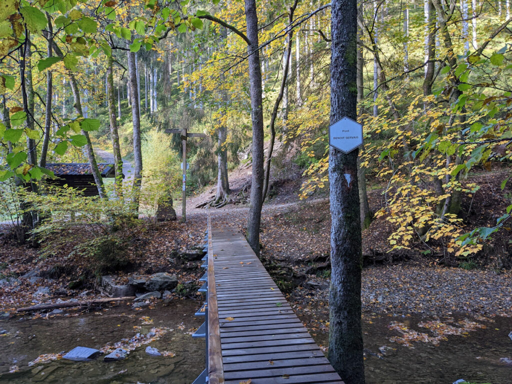
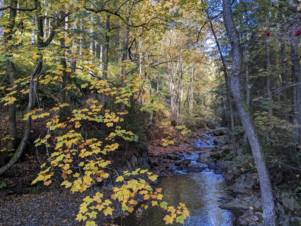
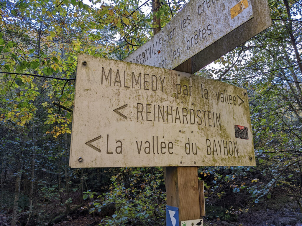
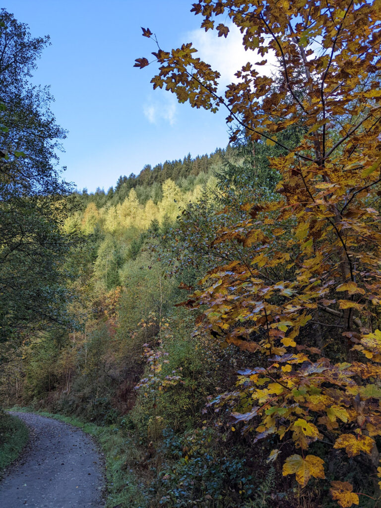
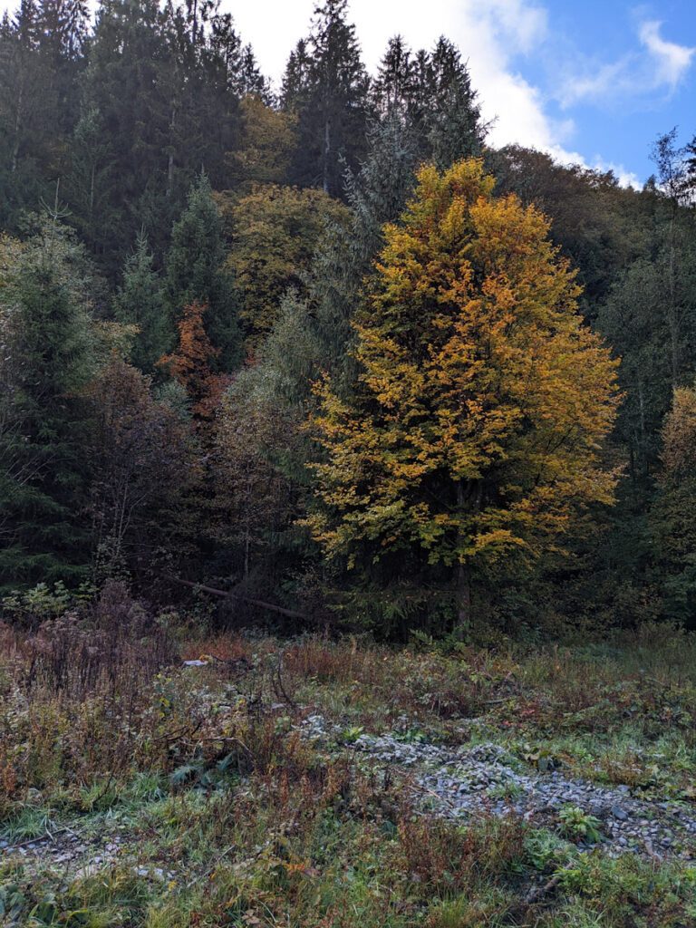
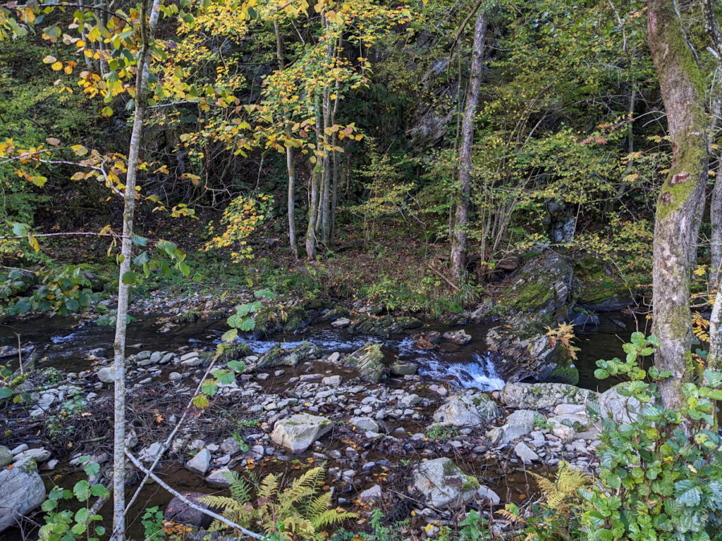
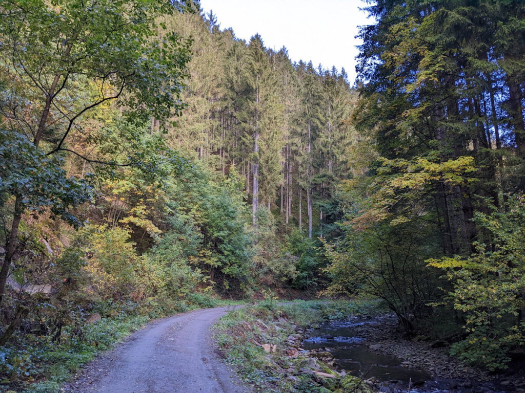
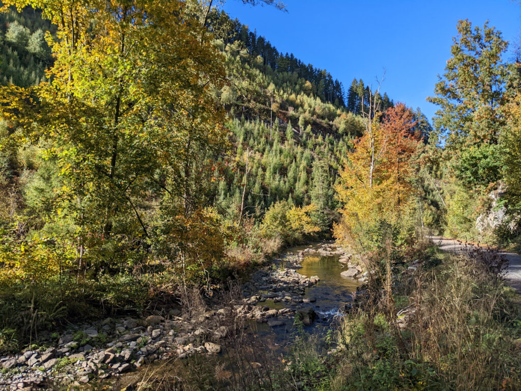
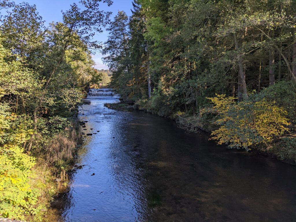
The trip started out at the hotel in the east, crossed the dam, then descended into the valley in front of Reinhardstein Castle (14th-century). This portion of the trail was slightly rough, with the path being covered in roots and mud, and often disappearing into the rest of the forest. Thanks to GPS and a map with trail overlays, it was possible to get through with relative ease. Even so, the location of one of the planned detours remains a mystery, so the views of the castle and the waterfall below it are from more of a distance than intended.
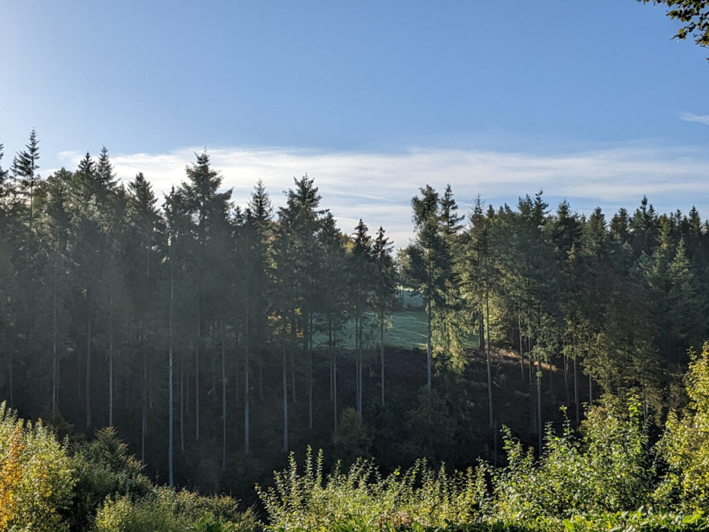
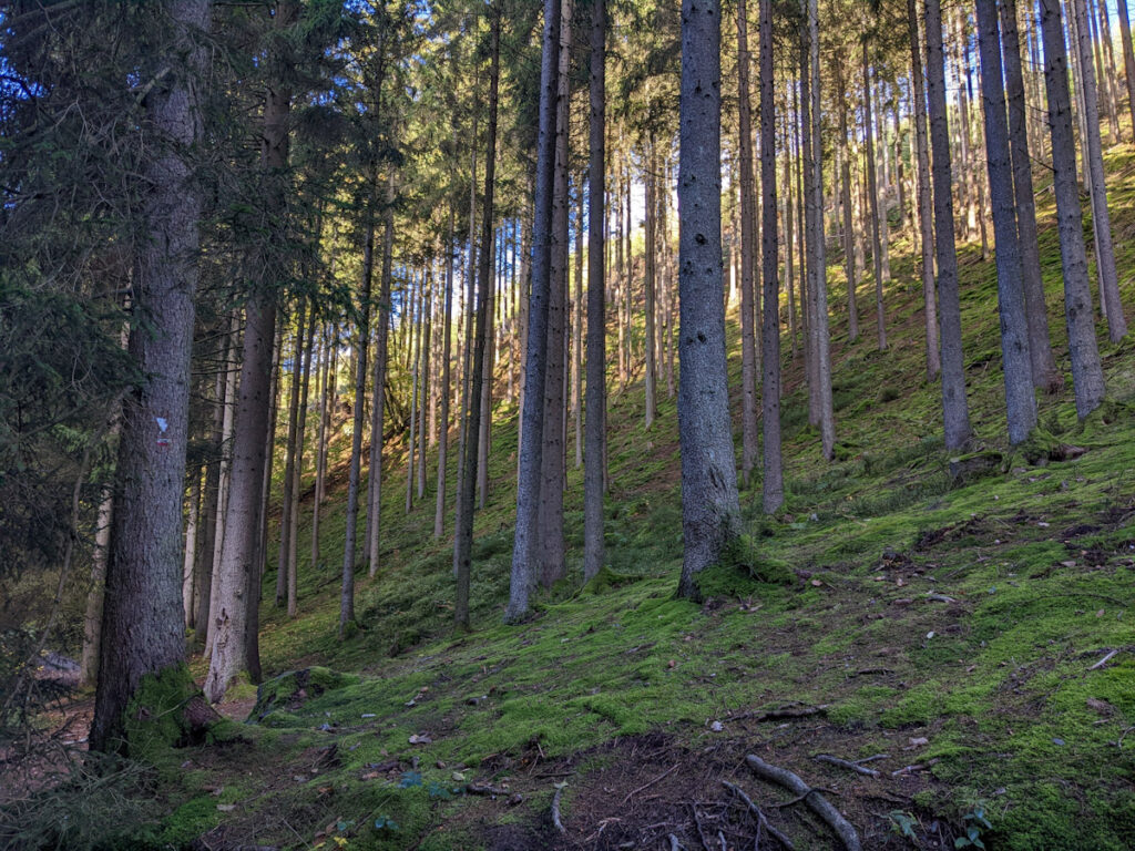
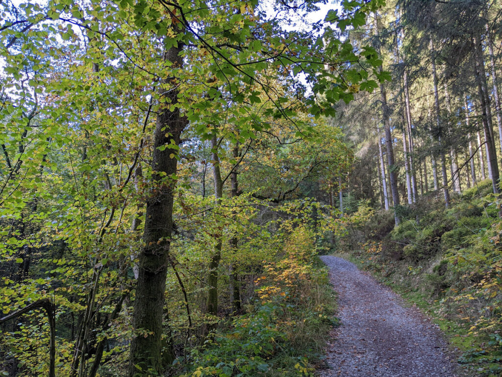
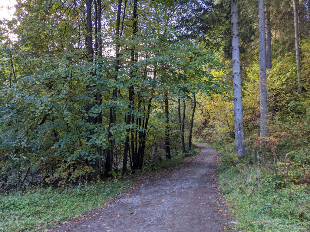
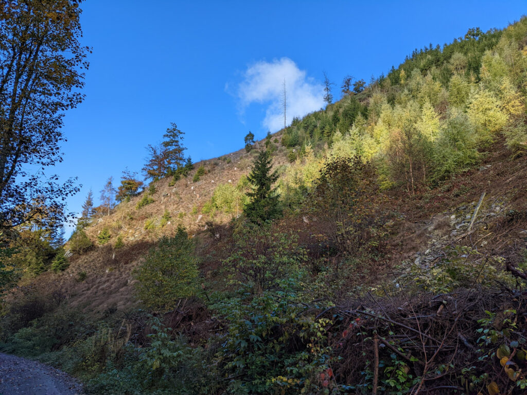
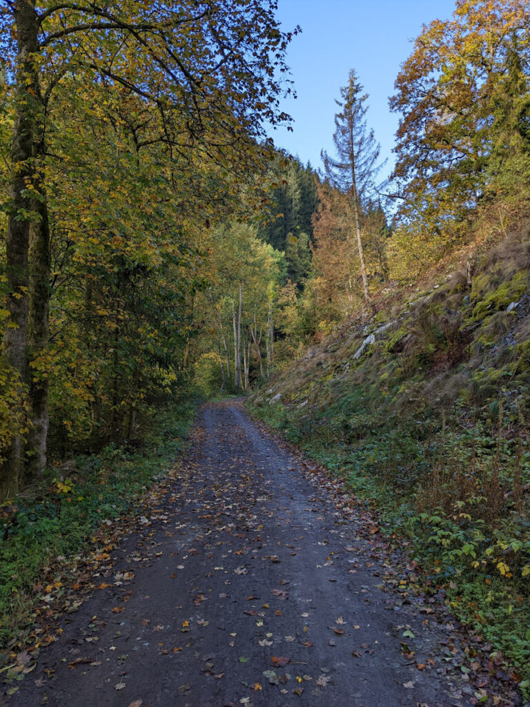
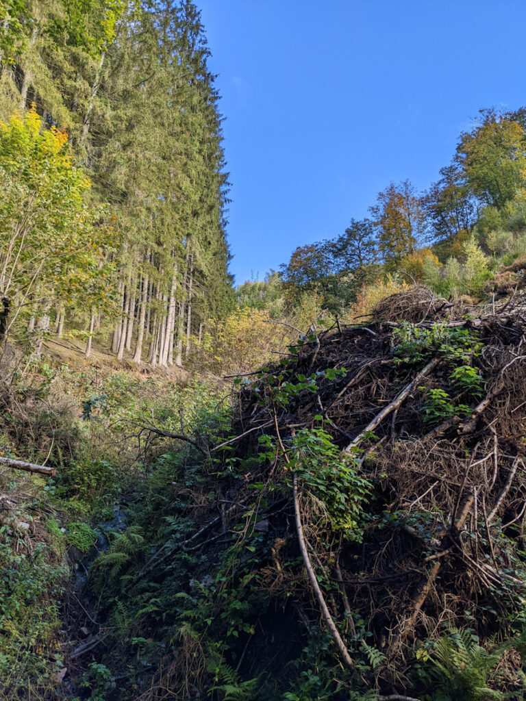
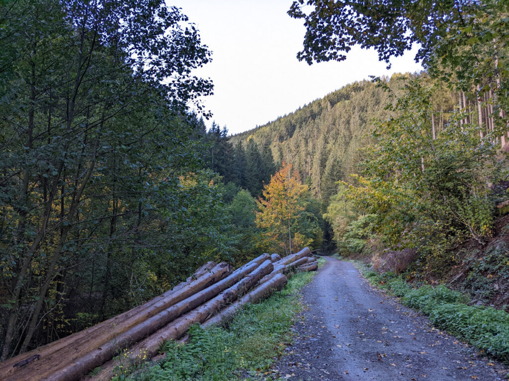
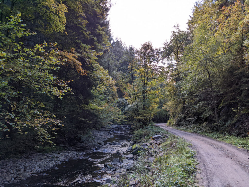
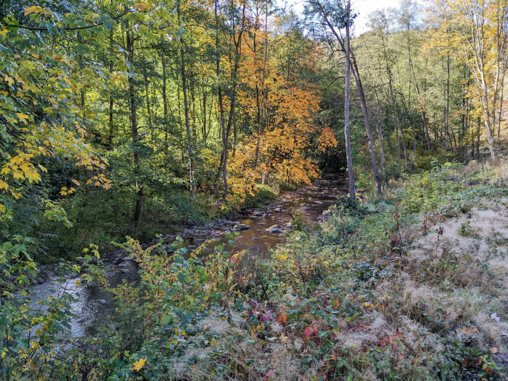
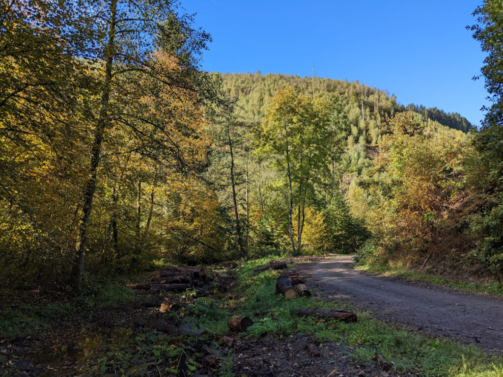
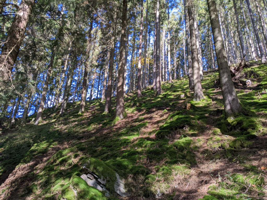
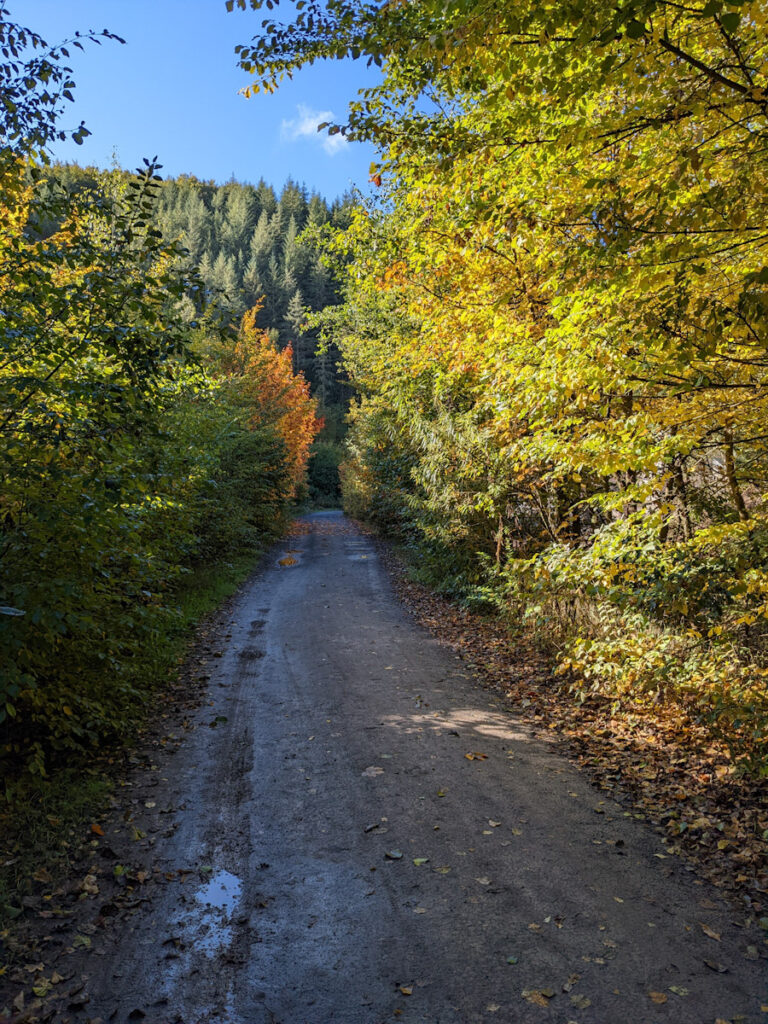
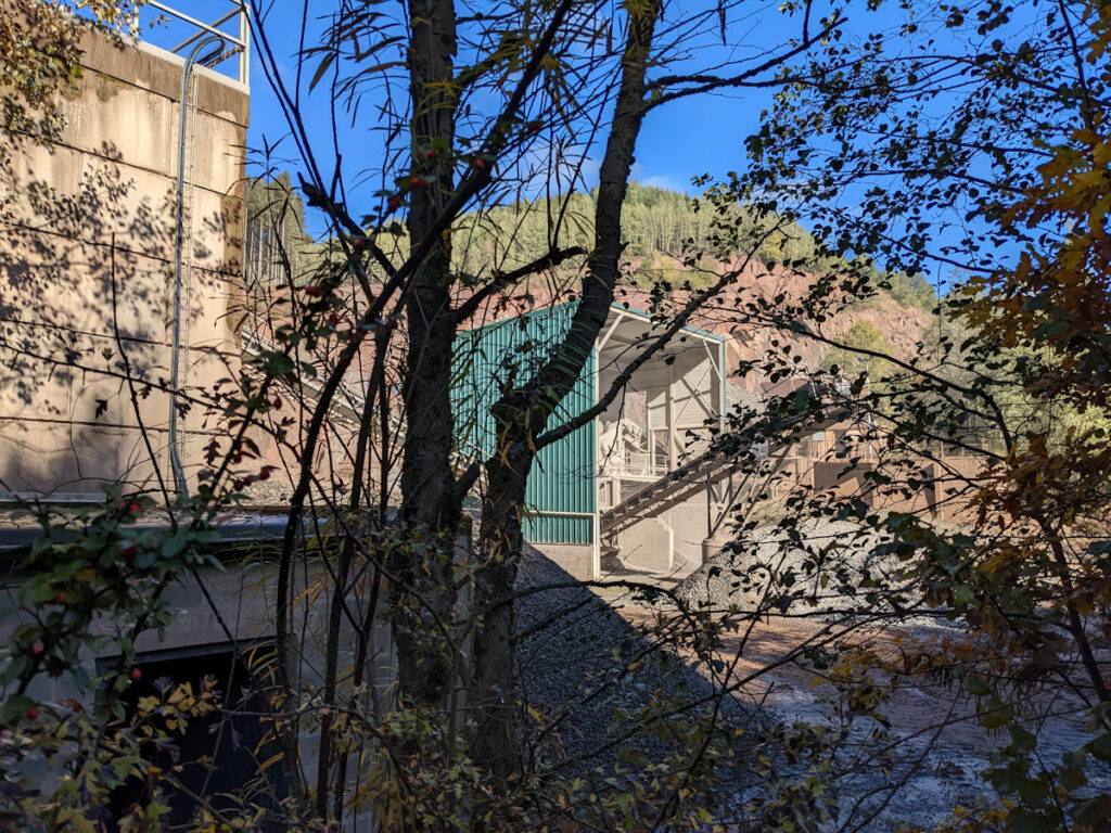
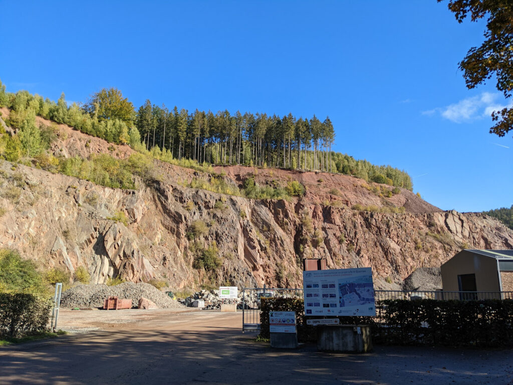
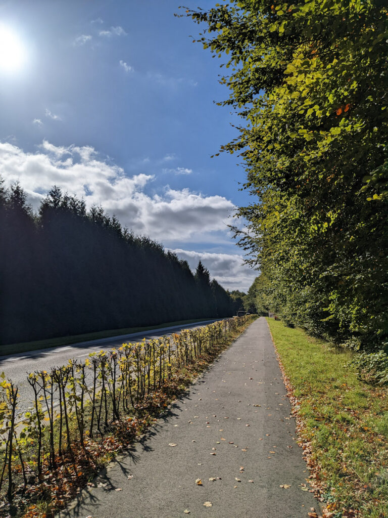
Gradually, the trail became easier to follow and faded into more of a compacted dirt road. Despite being so developed, there were just two lone bikers and no other hikers to be found for the first couple of hours. At the west end of the valley, another pair of bikers passed by, which made sense given the proximity to a campground and residences. Camping, in this case, turned out to be a set of inns lining the road near the forest, not a row of tents. Somewhere around the campground, the road became more developed, which no doubt had something to do with the quarry that had large trucks moving in and out.
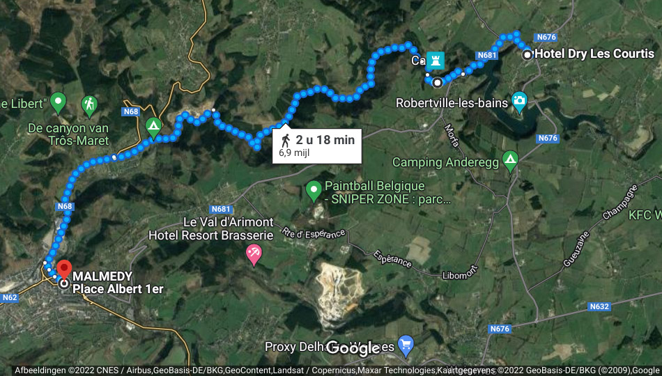
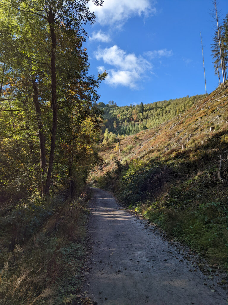
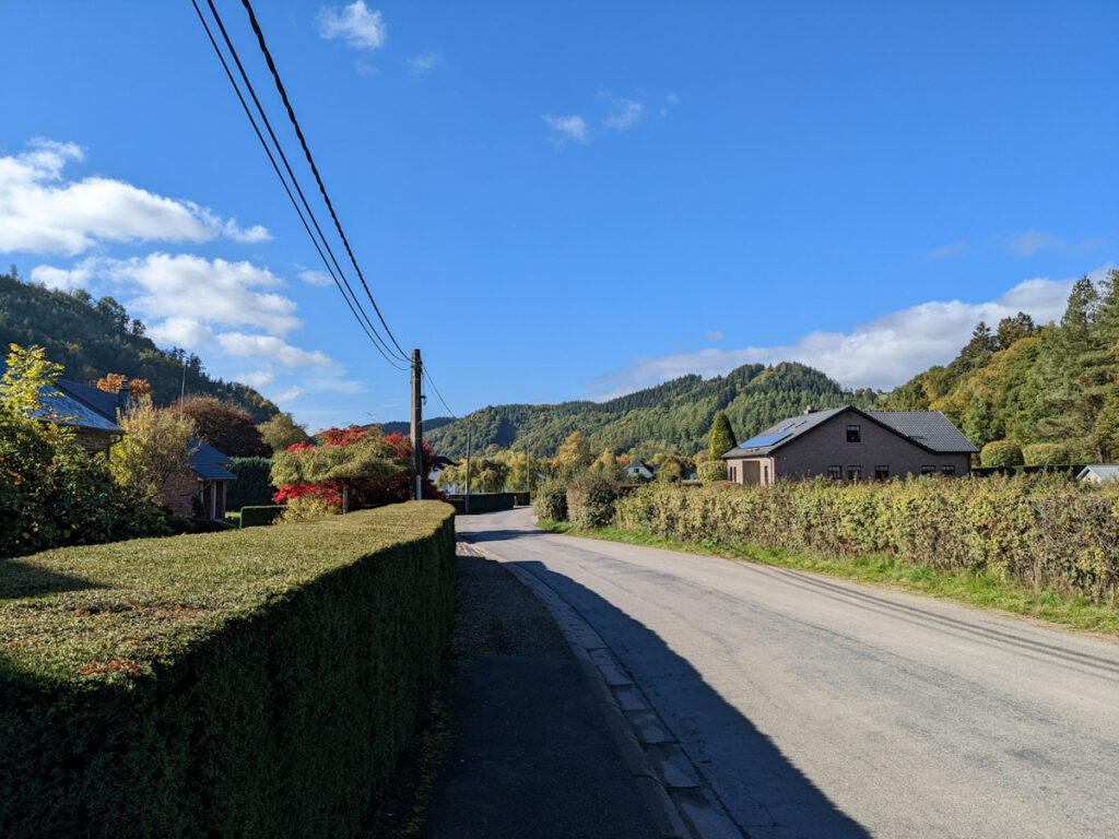
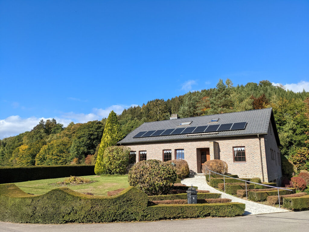
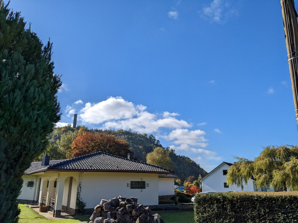
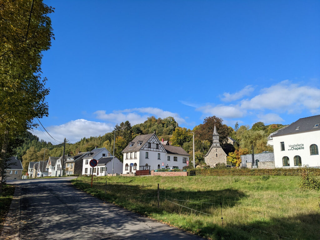
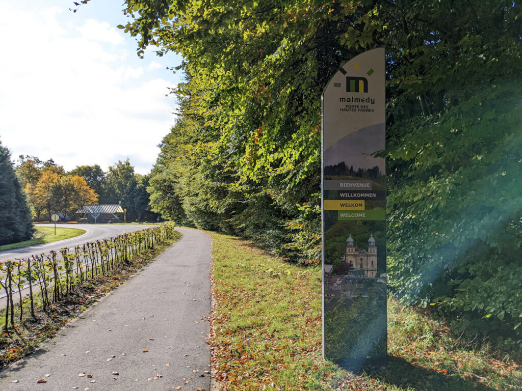
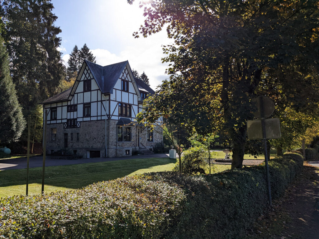
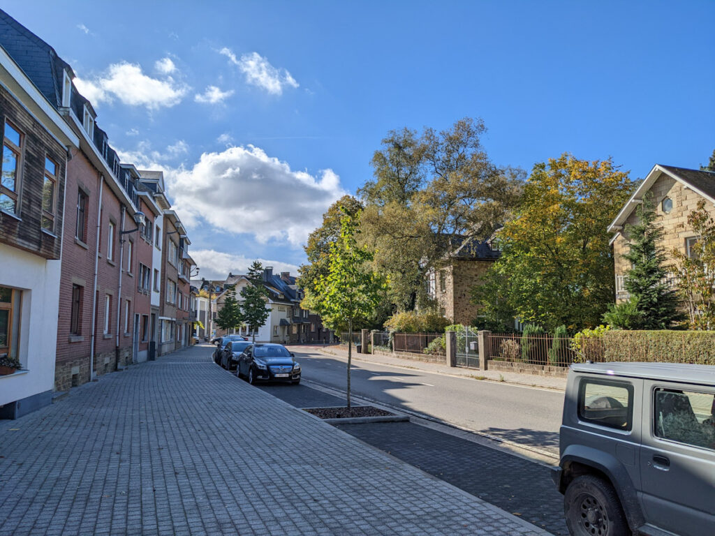
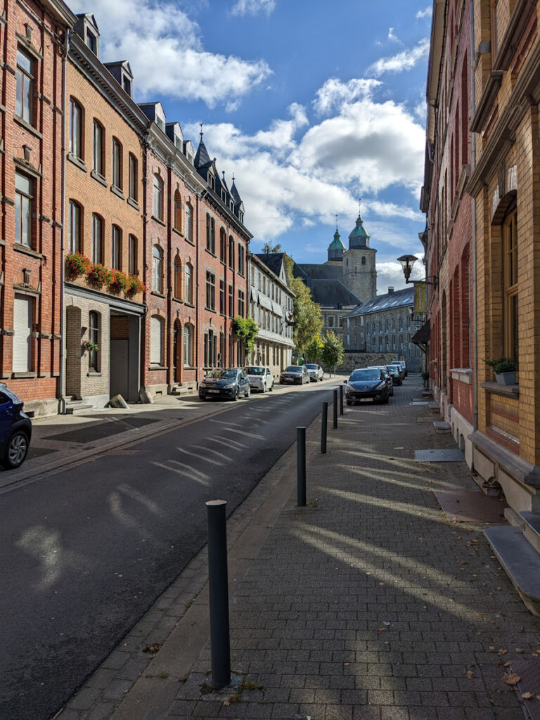
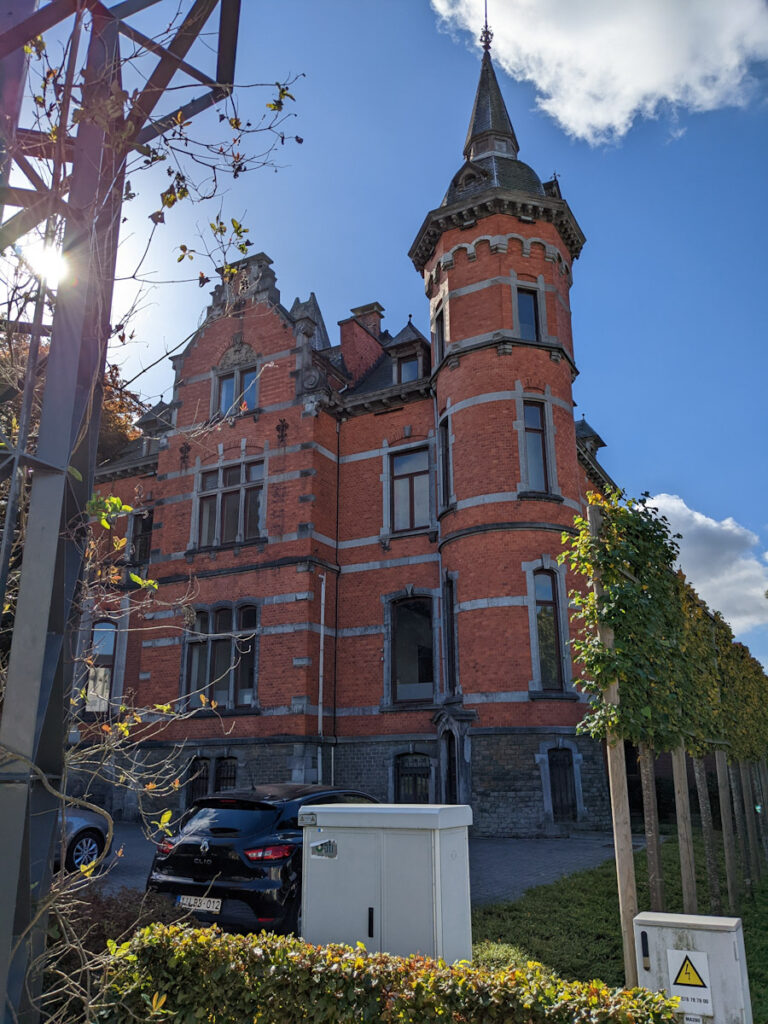
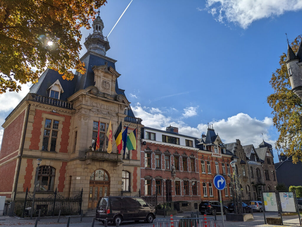
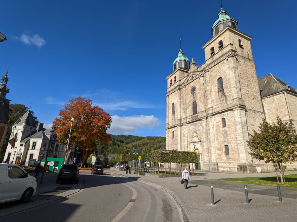
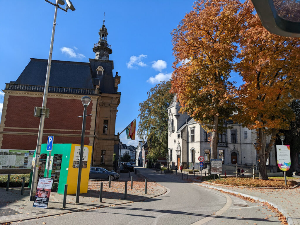
Further up the road, well-maintained rural residences made an appearance, and steadily increased in density until turning into the town of Malmedy. For such a small place of around thirteen thousand people, it was rather active. A cafe next to the bus stop provided a tasty road-snack of pain au chocolat and a heartier roll for something more substantial. The timing worked out perfectly, so there wasn’t much to do beyond getting a bite to go and waiting on the bus.


Off to Luxembourg
A missed connection in Ettelbruck gave time to grab a sandwich, but the trip was otherwise smooth. That felt like a small miracle, or at least successful planning, as this was to be one of two very difficult days to navigate since the route required: an unpredictable hike, a bus operated by TEC, a train operated by SNCB International, then two buses on the Luxembourgish side. The last two are listed, along with trains and trams, on the country’s public transit app, and everything is FREE. The service was a huge help the next day, but that will have to wait for the upcoming post.